It's Official!!
The Ozark Run Scenic Byway is Missouri's newest scenic byway
The Byway
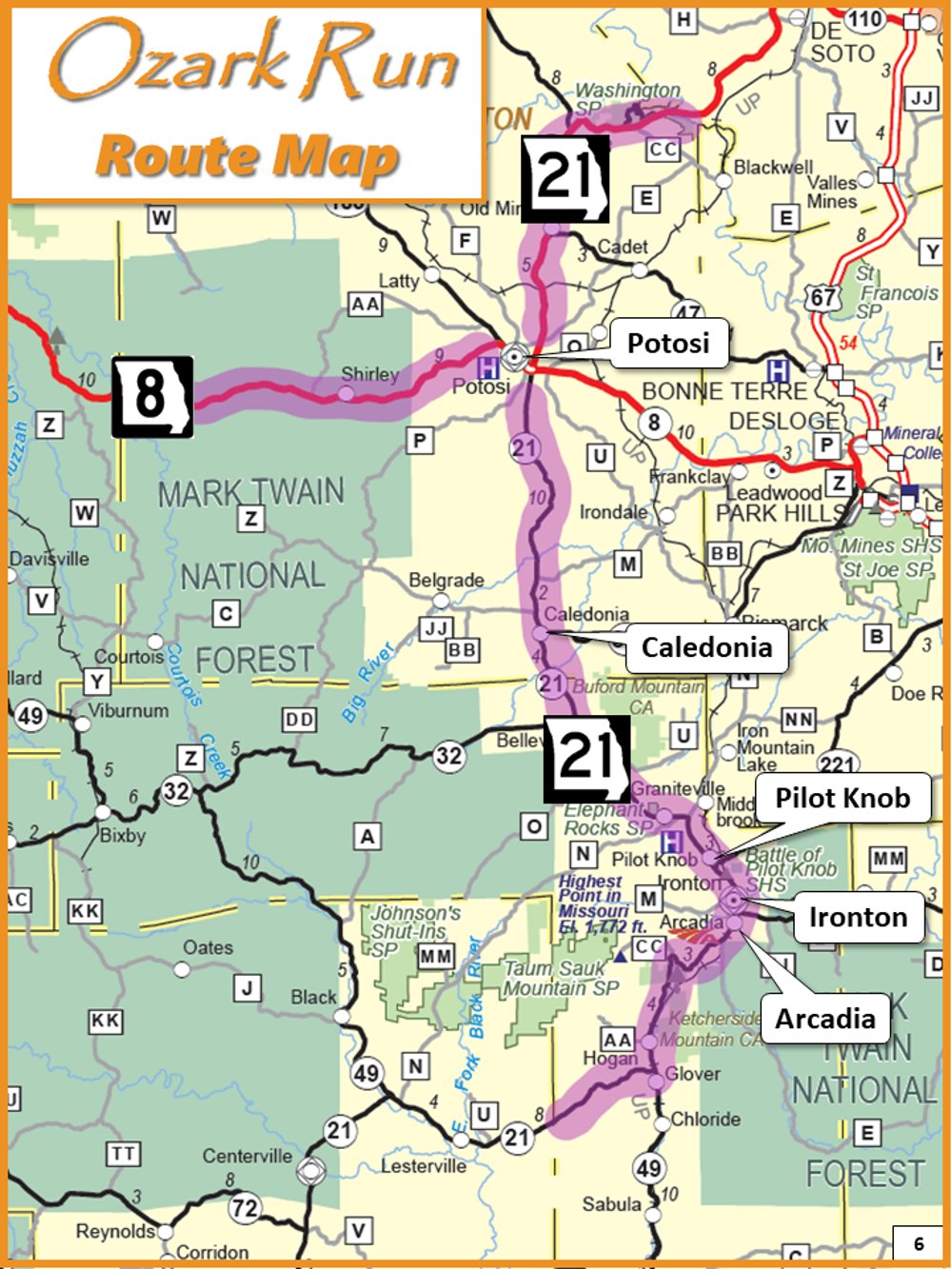
The Ozark Run Scenic Byway starts at the Big River near Washington State Park, reaches westward to Courtois Creek in Berryman, and heads south through the St. Francois Mountains and the historic towns of Caledonia, Pilot Knob, Ironton, and Arcadia, and ends near the Black River.
This 78-mile journey through small towns and wilderness links together many scenic and historic highlights in Missouri, and provides access to numerous recreational opportunities.
A scenic byway of this magnitude helps to unite communities and organizations around a common mission: bringing the world’s attention to the Missouri Ozarks – a supremely beautiful, yet largely overlooked territory in the heart of our nation.
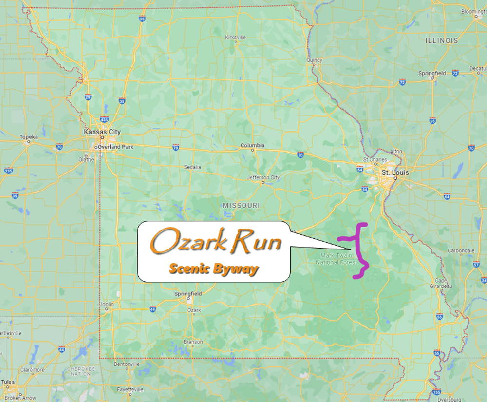
Where Is It?
The Ozark Run Scenic Byway is located in Iron and Washington counties in southeastern Missouri, roughly 60 miles south of the St. Louis area.